Visual aid
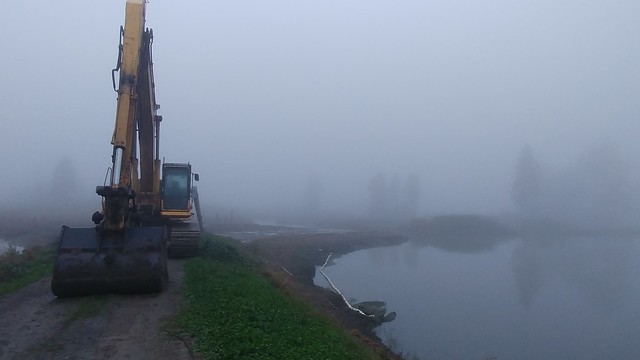
Sep. 23rd, 2018 06:15 pmHere's what I was talking about when I said they dug the road out at Langus. The water's a little low in this photo, but when it comes up a bit, all the mud will be completely covered just beyond the heavy equipment.
Here's where there used to be a road that connected the West side of the former loop to the East, quite far South, though. It's now flooded so I'm not sure why they felt the need to start filling the road in.
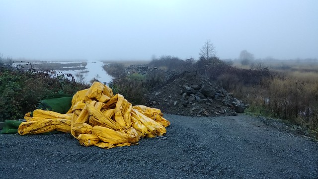
It was foggy most of the walk, but I stopped for a photo as it started to clear. There are a few others at flickr.

Here's where there used to be a road that connected the West side of the former loop to the East, quite far South, though. It's now flooded so I'm not sure why they felt the need to start filling the road in.
It was foggy most of the walk, but I stopped for a photo as it started to clear. There are a few others at flickr.